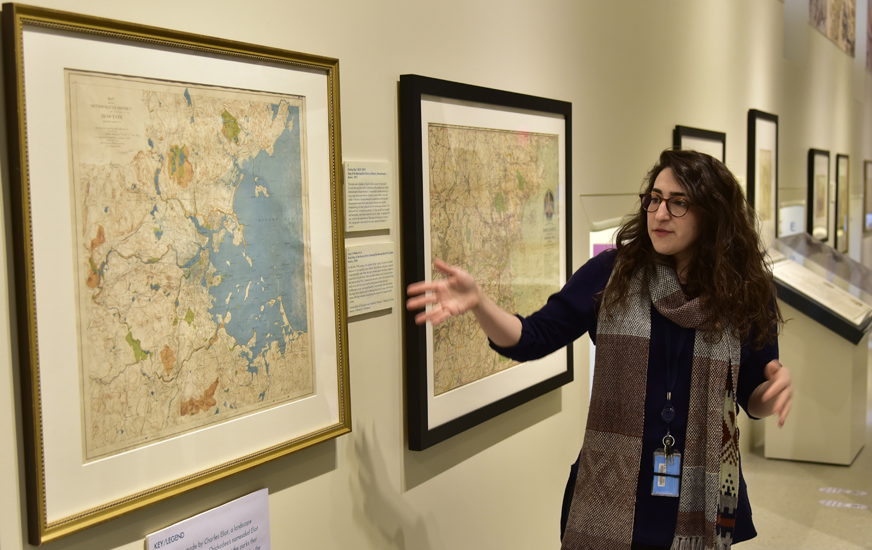
Dory Klein, Map Librarian, giving a tour of the exhibit.
By Richard Campbell
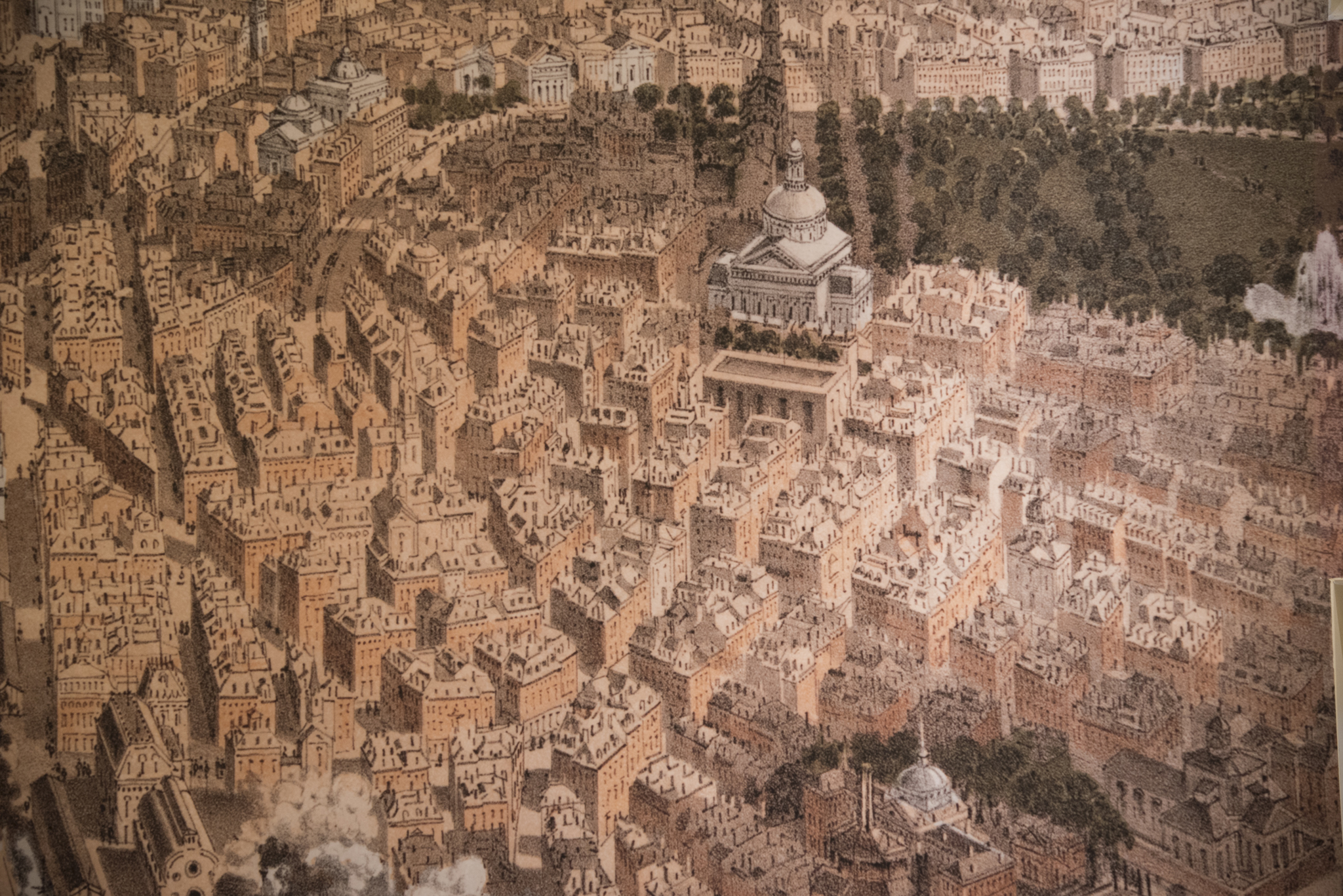
What’s not to like about the Norman Leventhal Map Center at the Copley branch of the Boston Public Library? Almost every time I stop by the place they have something new and interesting to see. For those of you who think this is simply a room full of maps, you have to see the current gallery exhibit: “Breathing Room: Mapping Boston’s Green Spaces” to get a full feeling on the history and development of the great park systems we have in Boston. From the historical to contemporary park projects, this is a really well planned exhibit. Technically if you can’t make it to the library, you can see much of this exhibit online-but what would be the fun in that!
This exhibit opened, quite suitably, on March 24th when we were all gasping for spring. Seeing the exhibit with a guide is an excellent idea, as I was lucky enough to happen upon Dory Klein, the Map Librarian, giving the full-fledged tour. I can assure you her park knowledge adds interest to the subject, and she has the knack for presentation. Besides this, the exhibit features Kid Friendly labels with abbreviated descriptions and play activities set up for the kids-plus interactive history screens. In short, make time to really see this exhibit, it will give you a historical overview of the green space we have in our city, and how it got to be shaped the way it is.
It is a matter of course that the exhibit includes many documents and maps from the Emerald Necklace, the Arnold Arboretum, Franklin Park, (the largest park in Boston) the Charles River Esplanade, the Boston Common, the Public Garden, and even resources on other similar developments of South Boston’s Pleasure Bay, and the Boston Harbor Islands. The history of landscape pioneers like Frederick Law Olmsted and Charles Elliot is underscored with original maps and plans they made when shaping the city under the guise of the then Metropolitan Park Commission- (a precursor to today’s Department of Conservation and Recreation).
People forget that when the MPC was originally formed in 1857 it was in response to widespread pollution in the city, from factories, open sewers, a high incidence of disease and death due to poor health conditions. The level of over-crowding would be hard for a lot of us to imagine. A popular solution to these urban problems in Europe was the establishment of parks, and Olmsted (also famous for Central Park in NYC) was the ideal designer to create this robust healthy system, the majority of which still serves Bostonians today. These parks are considered the “lungs of Boston” providing an enormous amount of fresh air, as well as providing beautiful places to visit when spring and summer comes- if that ever happens.
All kidding aside. The completion of the major Boston parks, dubbed the Emerald Necklace was something of a miracle. It runs over seven miles, and is managed by the Emerald Necklace Conservancy. Recently, the Muddy River part of the plan has received “day lighting” that is, the stewards have freed the river up that was choked into narrow underground tunnels, and have restored its landscape. There are also contemporary showings of designs for the Rose Kennedy Greenway and green spaces planned for other parts of the city. Of particular interest to South Bostonians will be the original plans for Pleasure Bay and some of the scenic photography of our waterfront. This exhibit runs to September 30th, and makes an excellent afternoon trip to the BPL. To see the exhibit online go to: https://www.leventhalmap.org/


